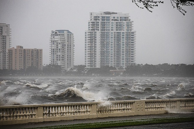
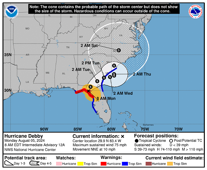
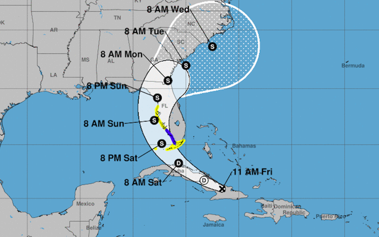
According to the National Hurricane Center, the storm made landfall at around 7 a.m. near near Steinhatchee, packing maximum sustained winds of 80 miles an hour and moving northeast at 10 mph.
"There is a danger of life-threatening storm surge along portions of the Gulf Coast of Florida, with 6 to 10 feet of inundation above ground level expected somewhere between Ochlockonee River to Yankeetown through the morning," said forecasters with the NHC. "Residents in the Storm Surge Warning area should follow any advice given by local officials."
The Tampa Bay area should see scattered showers throughout the day. A flash flood warning is in effect for Tampa, St. Petersburg and Clearwater until 11 a.m., Most of Florida (including Tampa Bay) and some of Georgia is now under a tornado watch until 4 p.m.
"Rapid weakening is forecast after the center moves inland, and Debby will likely become a tropical storm over northern Florida this afternoon.," said the NHC. "If Debby does move back offshore of the southeast U.S., there could be a little strengthening before it moves inland once again. Regardless of the system's strength, the main impact is expected to be heavy rainfall as mentioned above."
Across Tampa Bay, flooding and dangerous road conditions are still a concern. Quite a few roads and bridges are closed at the moment, and drivers are urged to remain cautious. Meanwhile, hundreds of flights at Tampa International Airport are also delayed due to Debby.
Over 30,000 Tampa Bay residents lost power overnight.
“This storm has produced and will likely produce significant flooding events from (the) Sarasota-Bradenton area all the way up to northern Florida,” Gov. Ron DeSantis said during a morning news conference at the state Emergency Operations Center.And that's not something that just happens when the storm passes, there's a threat, ongoing threat of that over the ensuing days.”
Follow us: Google News | NewsBreak | Reddit | Instagram | Facebook | Twitter

